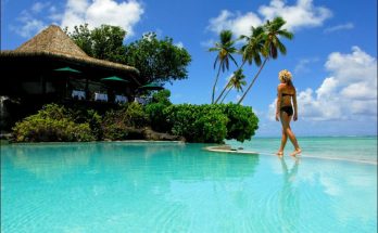
Cook Islands with Tropical Beaches
New Zealand is a very long way away, the end of the line, as şt was for the migrating Polynesians called Maoris, or the now flightless national bird, the kiwi. …
Cook Islands with Tropical Beaches Read MoreTourism and travel guide about destinations, attractions, tips, activities.
New Zealand is a very long way away, the end of the line, as şt was for the migrating Polynesians called Maoris, or the now flightless national bird, the kiwi. …
Cook Islands with Tropical Beaches Read More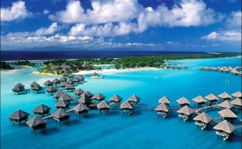
Bora Bora with about 9,000 people, is 140 miles North West of Tahiti and consists of a central island surrounded by smaller reef islands. One of the smaller is the …
Bora Bora Island and Polynesian Society Islands Read More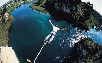
The national sport – and passion – is rugby football and matches can be seen in the main cities. But New Zealand also offers splendid tennis, football and cricket. Clubs …
Mountaineering and Sports in New Zealand Read More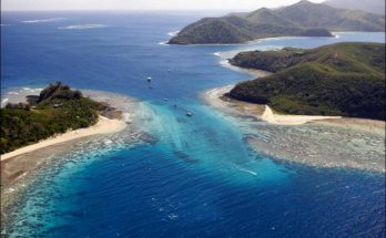
Everybody has a dream desert island: Fiji can make that dream come true. Three hundred times over. Lying like a handful of pearls in the Southweast Pacific, the 300 islands …
Fishing, Great Food, Tropic Feasts in Fiji Islands Read More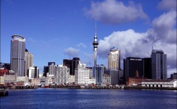
New Zealand is a country in the Southern Hemisphere in the Oceania region, which is called Aotearoa in Māori, which translates as the Land of the Long White Cloud, It …
New Zealand: Land of The Lord of the Rings Read More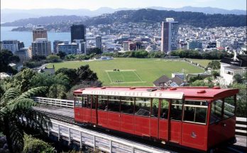
Beauty of Nature found in New Zealand. Many of us have always dreamed of planning a visit down under. Traveling through countries like New Zealand can be an eye opening …
Planning to travel to New Zealand? Read More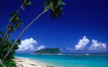
American Samoa is in Oceania, group of islands in the South Pacific Ocean, about half way between Hawaii and New Zealand. American Samoa is located in the South Pacific, just …
Samoa: An exciting new travel destination Read More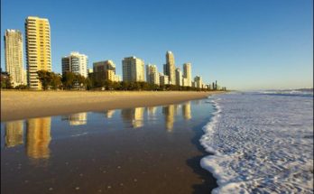
Over half of Queensland is in the Tropics – some of it still unsettled. Called the sunshine state, it certainly can be among the warmest places in Australia, umcomfortly so …
Early Morning Light on Surfers Paradise, Gold Coast, Australia Read More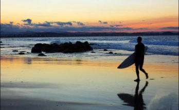
The city of the Gold Coast is a coastal urban area situated in the South East of Queensland Australia extends along almost 60 kilometres of coastline. The coastline features Australia’s …
Holiday on the Gold Coast Australia Read More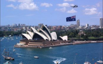
AAP Australian Associated Press AP Associated Press ABC Australian Broadcasting Commission ACCL Australian Council for Civil Liberties ACP Australian Communist Party AlCD Association for International Co-operation and Disarmament AJA Australian …
Some Australian and World Cultural, Political, Touristic, Press Organizations Abbreviations Read More