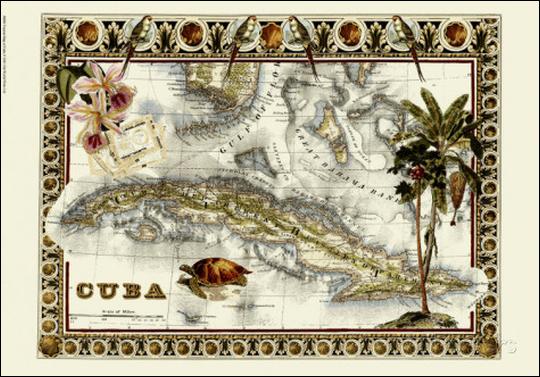
The central provinces of Cuba consist mainly of broadly rolling plains with shallow stream valleys. In Habana, Matanzas, and Santa Clara these plains were, prior to the late war with Spain, in a high state of cultivation, while those in Camaguey have been in the main used for the grazing of cattle. The valley of the Yumuri, in Matanzas, is typical of the beautiful, highly cultivated portion of the island.
Most of the harbors are of peculiar shape, resembling pouches with narrow, often sinuous, entrances, opening into broad, completely sheltered expanses. This is the character of the harbors of Bahia Honda, Cabanas, Habana, Santiago, Cienfuegos, Guantanamo, Nipe, and many others that are not so well known.
Off the south coast are hundreds of low, marshy mangrove-covered islands and islets. The Isle of Pines, with an area of about 1,200 square miles, is in effect two islands, connected by a marsh; the northern part is somewhat broken by hills, while the southern part is low, flat, and sandy.
The south coast from Cape Maisi to Cape Cruz is mountainous. Indeed, from Santiago westward to Cape Cruz the Sierra Maestra rises abruptly from the water to altitudes of several thousand feet. The shores of the Gulf of Buena Esparanza are low, and with the exception of a short stretch between Trinidad and Cienfuegos, the coast is low and marshy from this gulf to Cape San Antonio, the westernmost point of the island.
The strip of marsh is in the main narrow, but west of Cienfuegos it broadens until it covers an area 75 miles in length and fully 30 miles in breadth at its widest point. This almost impenetrable region is called Zapata swamp. It is clothed with the densest vegetation and teems with tropical life.
Visits: 116