
Santa Catalina Island, often called Catalina Island, or just Catalina, is an island off the coast of Southern California. just 22 miles (35 km) south-southwest of Los Angeles. The east end of the island is located at 33 degrees, 18’10″N, 118 degrees, 18’58″W.
Catalina is part of the eight Channel Islands archipelago. The eight islands that make up the archipelago are divided into two groups — the Northern Channel Islands and the Southern Channel Islands. Catalina Island is one of the four Southern Channel Islands.
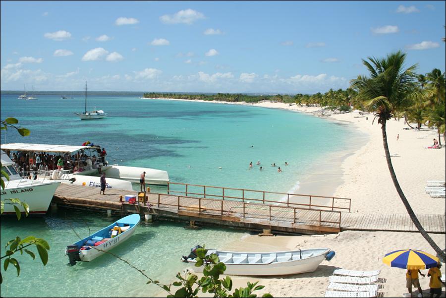
Santa Catalina Island is the only one of the eight islands with a significant permanent civilian settlement—the city of Avalon and the unincorporated town of Two Harbors. The distance from Avalon to Two Harbors is 13.4 miles by boat, 23 miles by road.
The Island is 21 miles and encompasses approximately 47,884 acres or approximately 76 square miles. The width is 8 miles at its widest point (Long Point) and 1/2 mile wide at it’s narrowest point at Two Harbors at the Isthmus. The coastal perimeter is 54 miles.
The highest elevations are Mt. Orizaba (2,097 feet) and Mount Black Jack (2,006 feet). The deepest water between Catalina and the mainland is approximately 3,000 feet or more than 1/2 mile. Water temperature ranges from 64 to 73 degrees in the summer and 54 to 59 degrees in winter.
Visits: 139