Near Isna, 35 miles north of Idfu, a distinct geological and physiographical change in the channel of the Nile and its valley and flood plain occurs. There the Nubian sandstones give place to limestone formations. The valley loses its trench-like charactes completely, broadening out to a plain with an average width of somewhat more than 12 miles.
White, calcareous cliffs of the limestone plateau hem in this part of the valley. Through it the river winds in meanders several miles in length. At Isna is the first of the barrages, built across the Nile below the Aswan Dam, by which the level of the river is held high enough during its low-water season to maintain a steady flow into the canals that take off above them.
The great eastward-bulging Qena Bend occupies about three-fourths of this section of the valley. The distance by river between Isna and Nag’ Hammadi is 110 miles (177 km.), as compared with the straight-line distance of 55 miles (88 km.). Here the greater part of the valley is dominated by Cretaceous limestone formations, with rather soft constituents of chalk and shales, which farther north are buried beneath the hard Eocene limestone. The brown marl into which the shale disintegrates is used locally for fertilizer. Mud islands begin to appear in this section of the river and are a common feature of its channel all the rest of the way downstream.
Between Isna and Luxor, which stands a few miles downstream from the south end of the Qena Bend, is the most conspicuous contrast between the east and west borders of the valley. There the eastside plateau rises with steep escarpments close to the river. Its 2037-foot (621-meter) Gebel el Shaghab, a ridge of Cretaceous beds capped with Eocene limestone, is the highest mountain along the whole length of the valley in Egypt. The bulk of the agricultural land is, consequently, on the west side of the river, and between it and the escarpment of the limestone plateau of the Western Desert is a gravelly plain, more than 10 miles wide, dotted with low hills of shales.
The youthful Nile cut its Qena Bend around a southwest-northeast trending anticline (outlying from the limestone plateau of the Western Desert) known as the Theban anticline, from the ancient capital of the Pharaohs whose site is now partly occupied by the town of Luxor. But it was the Wadi Qena that turned the course of the Nile west and southwest from the northeast apex of the Bend. This wadi, largest of the trunk wadis of the Eastern Desert, was discharging heavily during the rainy period of the Pliocene and early Pleistocene, when this section of the Nile valley was being cut.
Its discharge and the delta it was building at its mouth served to deflect the Nile from what might otherwise have been a northerly course from this point on. From Luxor downstream the layout of the valley is the reverse of that of the Isna-Luxor section. Here it is the escarpment of the westside plateau and the range, 400 to 500 feet high, formed by the Theban anticline, that rise close to the river. The eastside plateau correspondingly retreats, leaving between it and the river a rather open country broken by low, isolated hills where the Cretaceous chalks and shales have been exposed.
From about 2150 B.C., when the first Pharaoh of the Eleventh Dynasty chose Thebes as his seat, until it was sacked by the Assyrians in 663 B.C., the Qena Bend was the spiritual heart of Egypt, and except for brief periods its administrative center. But even before the Pharaohs made Thebes their capital and began to build in and around it their temples and tombs, there were prosperous centers of trade and handicrafts where the present towns of Qena, Qift, and Qus now stand.
The Qena Bend is the nearest approach of the Nile valley to the Red Sea. From it the Wadi Qena and another great trunk wadi, the Hammamat, provided caravan routes by which the Pharaohs transshipped to the Nile valley the treasure brought to their Red Sea ports from the Persian Gulf and the east African “Land of Punt.” Quseir and Safaga, on the sites of two of these ports, are today connected with Qena by a road passable for motor vehicles, although it is now little used.
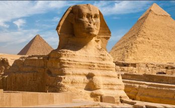
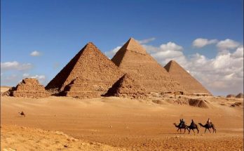
The Qena Bend region has some of the richest agricultural land of the whole Nile valley and is densely populated. Qena and Luxor are its principal urban centers. Qena, capital of the province of the same name, at the mouth of the Wadi Qena, is well known throughout Egypt for its “Qena pottery,” made from the exceedingly fine clay deposited toward the center of a gulf of the Mediterranean that flooded the lower reaches of the Wadi Qena in Pliocene times. Pottery making and sugar milling are the principal industries of Luxor, but it is best known for the Theban antiquities in and around it.
Visits: 162