East St. Louis (418 alt., 31,542 pop.), railroad and industrial center, lies opposite St. Louis, Mo., on the Mississippi flood plain known as the American Bottom. Steep bluffs rise several miles east, but within the city there are neither hills nor valleys. Warehouses and railroad yards crowd the riverfront.
At the northwest is one of the country’s largest stockyards, its borders outlined by huge packing plants. Mills manufacturing iron, steel, glass, aluminum, and some sixty other products sprawl through the south length of the city. Lusty, smoky, and virile, East St. Louis takes more pride in its industries than in any other phase of its civic life.
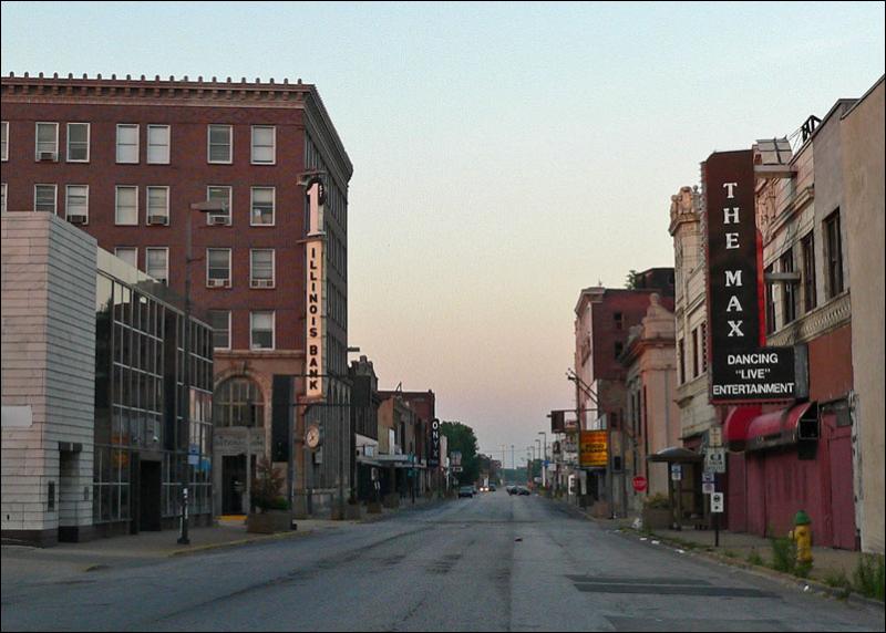
To thwart overflows that did frequent damage before a system of levees was installed, the main streets were graded from eight to fifteen feet above the flood plain. This accounts for the present pockmarked appearance of the business district, centered at Missouri and Collinsville Avenues. Vacant lots along side streets resemble shallow quarry pits and the roofs of houses that antedate elevation of the streets are but a few feet higher than the pavement. Elsewhere, the streets are built on the ground level, and house foundations are of ordinary height.
Missouri Avenue, from 10th Street southeast to its terminus, is the division point between the Negro and white residential sections. For the most part, the latter lie north of this avenue beyond the area of heavy industry. Architectural styles range from houses of the late 1880’s, with mansard roofs, to scores of brick “flats” of pre-World War and contemporary construction.
Outnumbering these are conventional frame or brick structures, with gable roofs and wide front porches. The Lansdowne section near Jones Park is beautifully landscaped, but scarcely less attractive is the Alhambra Court neighborhood at 35th and State Streets. The latter street is the main thoroughfare of the white residential area, its four-mile length lined with chain stores, restaurants, filling stations, and automobile repair shops.
Most of the city south of Missouri Avenue and 10th Street, excepting the Alta Sita region on Bond Avenue southeast of 21st Street, is occupied by Negroes, who comprise 15.5 per cent of the population. Negroes have their own schools, churches, grocery stores, and motion picture theaters. Industrial plants have begrimed the section; its sole strip of green is Lincoln Park, 16th Street and Piggott Avenue. An intermixed Negro and foreign born population lives in the “Bad Lands” along Missouri Avenue, between 21st and 31st Streets, while the remnant of a once-sizeable Armenian colony dwells near 16th Street and Broadway.
The farms on the bluffs and bottom land around East St. Louis produce abundant crops almost within the shadow of the industrial plants. At dusk during the harvest season hundreds of trucks laden with corn and vegetables file across the Municipal Bridge to the curb markets of St. Louis. In autumn the farmers’ trucks give way to larger vehicles piled high with coal from the mines of southern Illinois. These caravans enliven the city’s aspect, but add little to its income. Of much greater consequence are the freight trains that rumble in at all hours, carrying livestock from the West and goods from the East.
Visits: 119