The precise routes taken by the fearless explorers are not known. The migrations were many and were spread over centuries of time. Also the small companies of adventurers and scouts and the larger companies of immigrants came by different routes. The route through Java to the Fiji Islands and eastward is marked by stranded remnants of Polynesians at Futuna (Erronan) in the New Hebrides, at Rennel in the Solomons, and at the Ontong Java (Lord Howe Islands).
The Polynesian settlement at Nukuor in the Caroline Islands may mark a northern route by which immigrants came through the Marshall Islands, Gilbert Islands, and Ellice Islands to Samoa and perhaps to Hawaii. It is possible that some adventurous companies came by a yet more northern route through the Marianas Islands or the Carolines directly to Hawaii. After immigrants had become established in such places as Samoa and Tahiti, these centers probably were used as bases for exploration of islands in their vicinity.
When the Polynesians came
Some Polynesians speak of their former homeland as “Hawaiki,” a faintly remembered faraway region from which many choice things came and to which the souls of men returned after death. The first emigrations from this homeland took place so long ago that the record is lost. But at the beginning of the Christian era colonists were in the Pacific, and it is known that during the eighth and ninth centuries eighty-five islands and island groups had been discovered islands lying far apart on both sides of the equator.
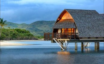
The Maoris of New Zealand trace their descent from immigrants who reached the islands about the year 1400. But these immigrants had learned about the country from earlier voyagers and came with their wives and children, carrying with them the sweet potato and taro, their household idols, medicinal plants, and domestic animals. They found New Zealand occupied by people of their own race, who had come from different places, and learned that the Chatham Islands lying eastward across 500 miles of stormy sea had been settled.
As early as the thirteenth century the geography of the Pacific was fairly well known. The colonists were familiar with the mountains, volcanoes, rivers, reefs, and forests and knew the regions of large rainfall and small rainfall and the direction of winds and currents. All this was before Columbus had discovered America, or Balboa the Pacific; before Magellan had crossed the Pacific to the Philippines.
Pioneer navigators
Long before European navigators had ventured far from land, Polynesians were sailing back and forth among the dots of land in the broad Pacific, making voyages thousands of miles in length. The Polynesian outposts in the Carolines and at Easter Island are nearly 9,000 miles apart and 3,800 miles of water lie between Hawaii and New Zealand.
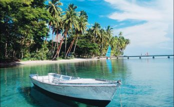
The route from Tahiti to New Zealand, used many times by Polynesian boats, is 2,200 miles in length. Yet these widely separated lands and intervening islands were not only known but were settled and served as distributing points for the shoots and seeds of such food plants as the banana, coconut, yam, breadfruit, and taro. Even the west coast of America may have been visited by adventurous navigators.
Long voyages
The facts about some of these voyages are known. Four early trips from Hawaii to Tahiti, 2,400 miles, are recorded. Uenga, a twelfth-century sea rover, sailed from Samoa to Tongareva, thence to Tubuai, and through the Tuamotus to Tahiti. The entire journey covered about 4,000 miles, most of it against the trade winds. Tukuiho, sailing from Rapa, discovered Rapa-nui ( Easter Island) after a voyage of 2,500 miles with no intervening stopping places. Karika, a Samoan chief, discovered and colonized Rarotonga, and the thirteen voyages of Tangiia cover a distance of more than 18,000 miles.
No compass used
The Polynesians readily made their way across the ocean without the aid of a compass or a log book. During the daytime they guided themselves by the sun, by the flight of birds, and the shape and color of clouds, and in stormy weather by the trend of the waves driven before the prevailing winds. A man with a knowledge of clouds and rainbows and winds ranked high in the esteem of the people. Some of the Pacific peoples made crude charts on which the trends of the wave crests in the trade wind belts were indicated by parallel sticks stretched on a frame, and the number and position of the islands included on the chart were shown by little pieces of stone or coral placed in proper position.
Visits: 91